The summer of state parks continues with our visit to Halibut Point State Park. Located on Cape Ann in the town of Rockport, MA, it was once the Babson Farm Granite Quarry. The granite was quarried at the beginning of the 20th century and used to build thousands of buildings, warehouses, bridges, street monuments, and tunnels. Unfortunately, in 1929, operations ended with the collapse of the Cape Ann granite industry. In 1934, The Trustees of the Reservations acquired a piece of land next to the quarry. Here the Halibut Point Reservation was created. Then, in 1981, the state purchased 56 acres of land, resulting in Halibut State Park’s creation. Together, they make up this beautiful area.
Before heading out, be sure to download a trail map. You can find in here.
As I may have mentioned in my previous post, we were in the midst of a heatwave here in Massachusetts. We have had many days of 90 degrees and 100% humidity. On this particular day, we thought we might get some relief by being next to the ocean. Not so much!

Our visit started with a hike around the granite quarry. The walk is a self-guided tour. We downloaded a brochure that explains each of the nine markers set around the quarry.

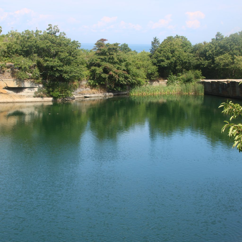
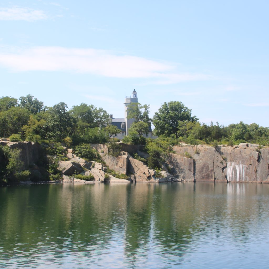
The quarry is no longer in use and filled with natural spring water. When it was still an active quarry, the workmen would have to keep the water out by hand with buckets. Can you imagine? Today, it is filled with spring water and about 60 feet at its deepest point. There is no swimming in the quarry. It is for your viewing pleasure only.
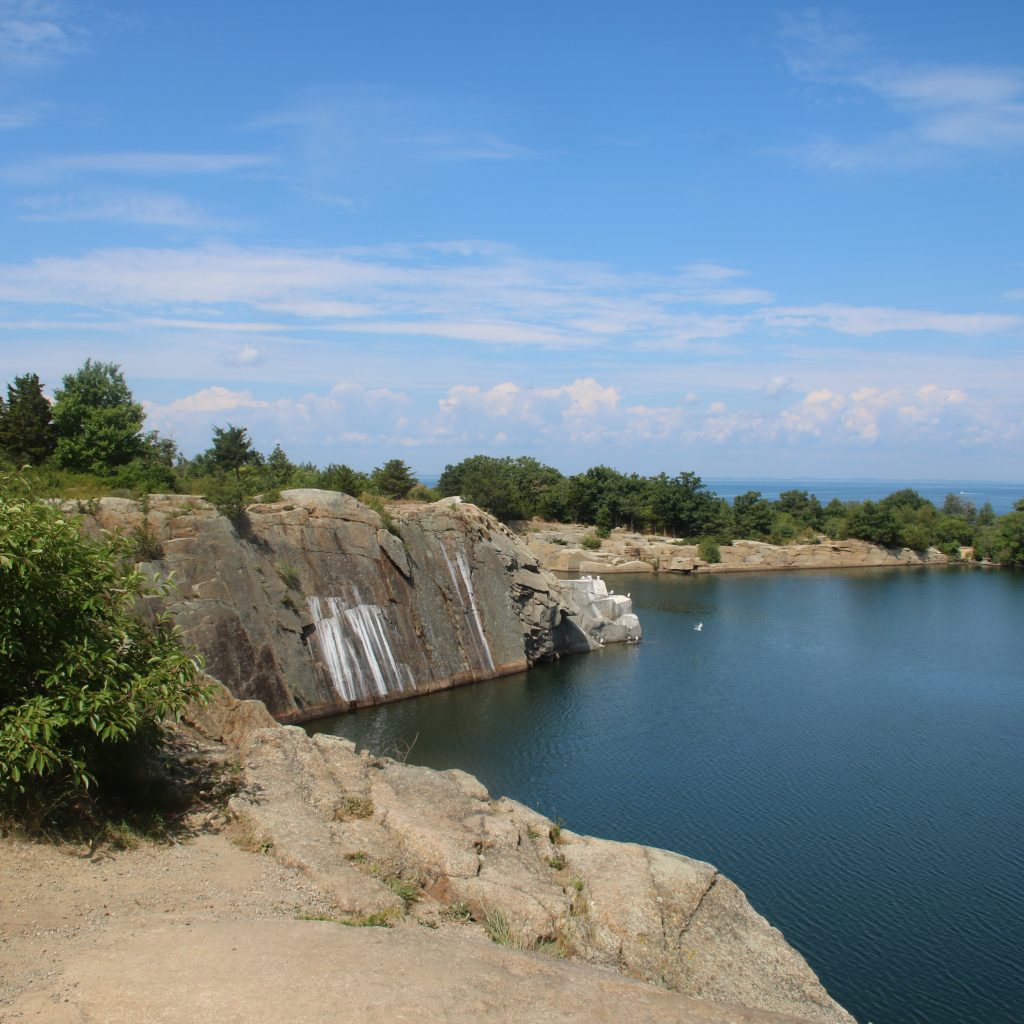
As you can see from the photo, the blocks of granite are coming up from the water. Some birds are sitting on them. Granite was brought up from the bottom of the quarry using what is called derricks. Derricks are an arrangement of blocks, tackles, and pullies. You can see how it was done below.

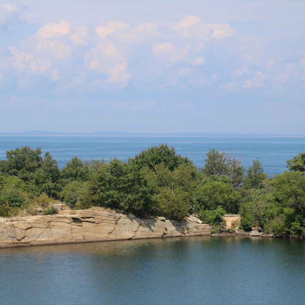


The single-round hole is called a dog hole. It’s used to hold tips of the giant hooks called dogs. Cables and chains suspended these from the derricks.
Long iron staples were used to keep the derrick in place. Over thousands of years, water seeping in the granite would cause minerals to oxidize or rust. Hence, this granite got its color.
Marker 5 is a small body of water that sits next to the quarry. I have to admit, we missed it. I took a picture of the marker but not the water. Anyways, it is called an In Motion. That is a term meaning small quarry. It was here that the granite was made into pavers.
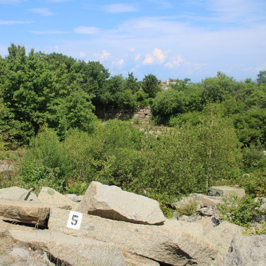

Marker 6 demonstrates how granite was split at the quarry. In the early days, it was split by making holes with a flat chisel and then driving flat wedges down into the holes. Later on, the process was much improved. According to the guide, “new chisels with shallow V-shaped cutting edges were struck with a hit-turn-hit-turn motion. This technique made circular holes into which half-round shims like the ones still in this stone were inserted. A tapered wedge was driven between them, splitting the stone. Even with this improved technology, nearly 75% of the large blocks split crookedly and had to be relegated to the grout pile.” Wow, that seems like a lot of wasted granite!
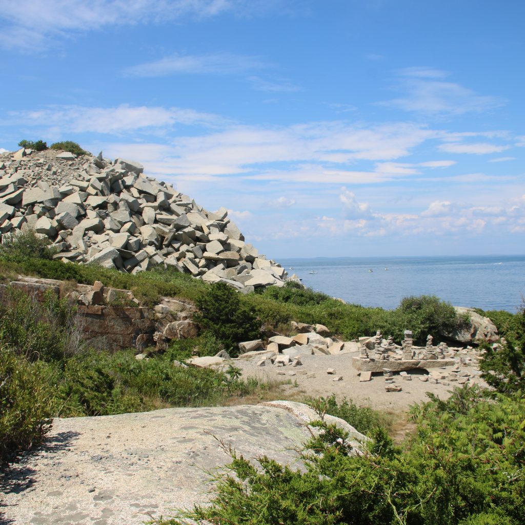
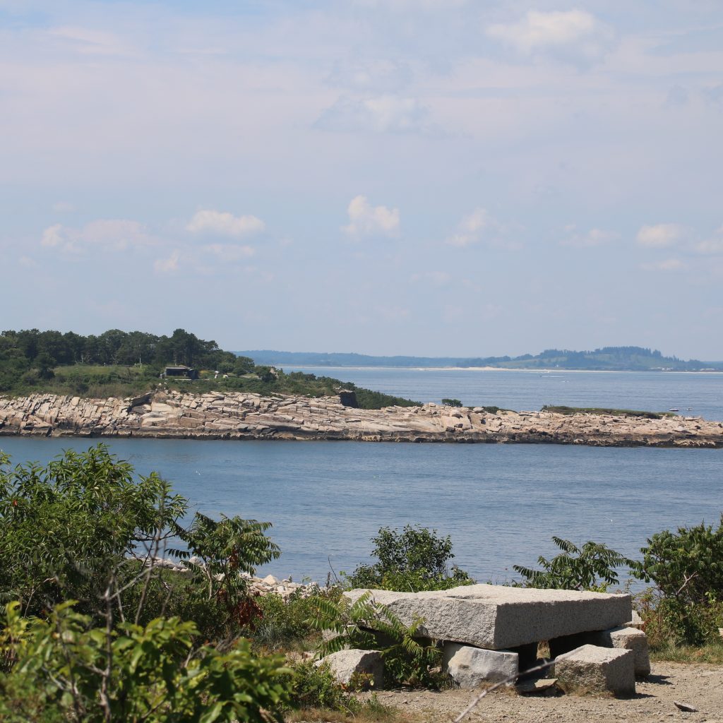
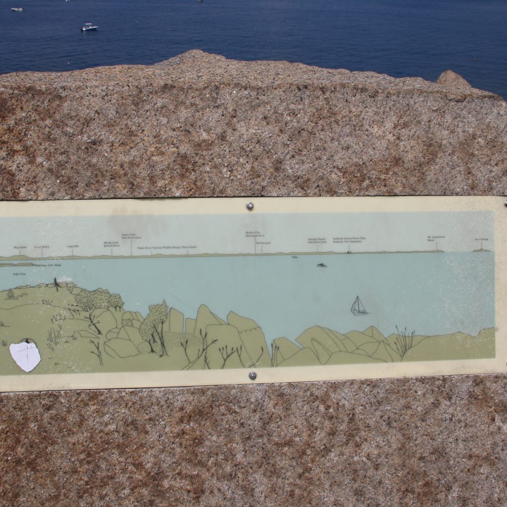
Marker 7 is the grout pile. The grout pile makes up the lookout point of Halibut Point State Park. It is a pile of granite of pieces dumped here over many years.


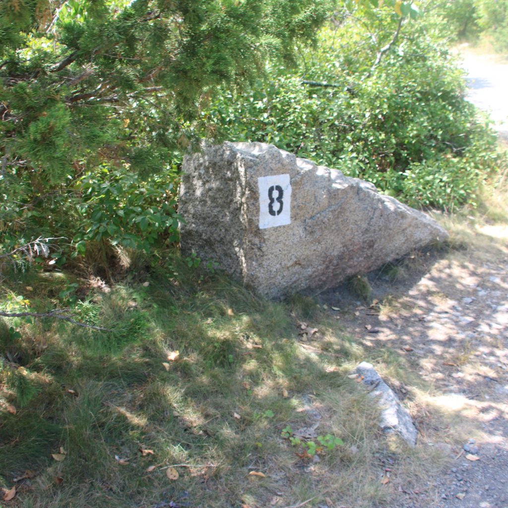
The point of marker 8 is to demonstrate the diameter size of the holes. When the quarrymen started using steam power drills, it became possible to cut deeper holes and quarry larger pieces of stone.
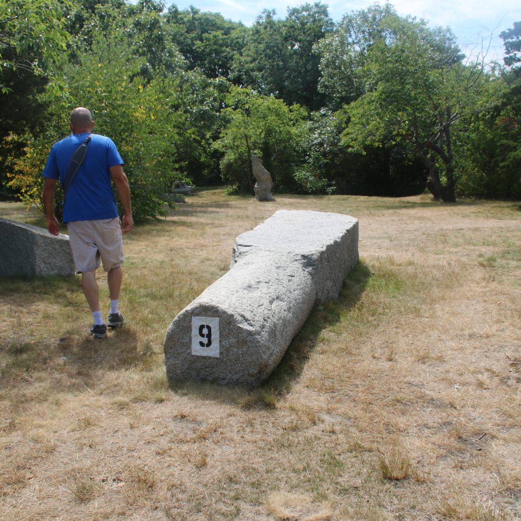
Granite bollards were set onshore or on wharves to secure the lines of the ships. Initially cut by hand, these pieces of granite were quite impressive in person.
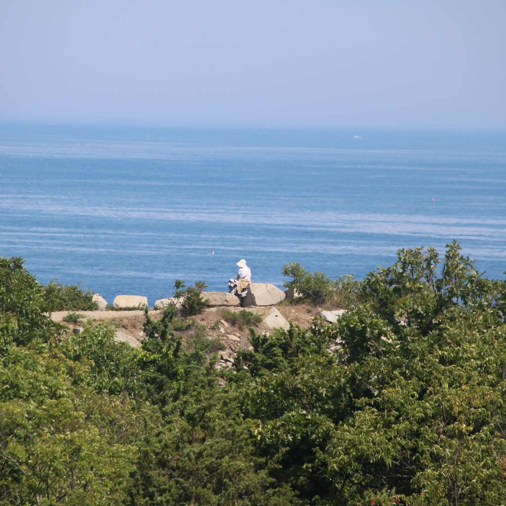
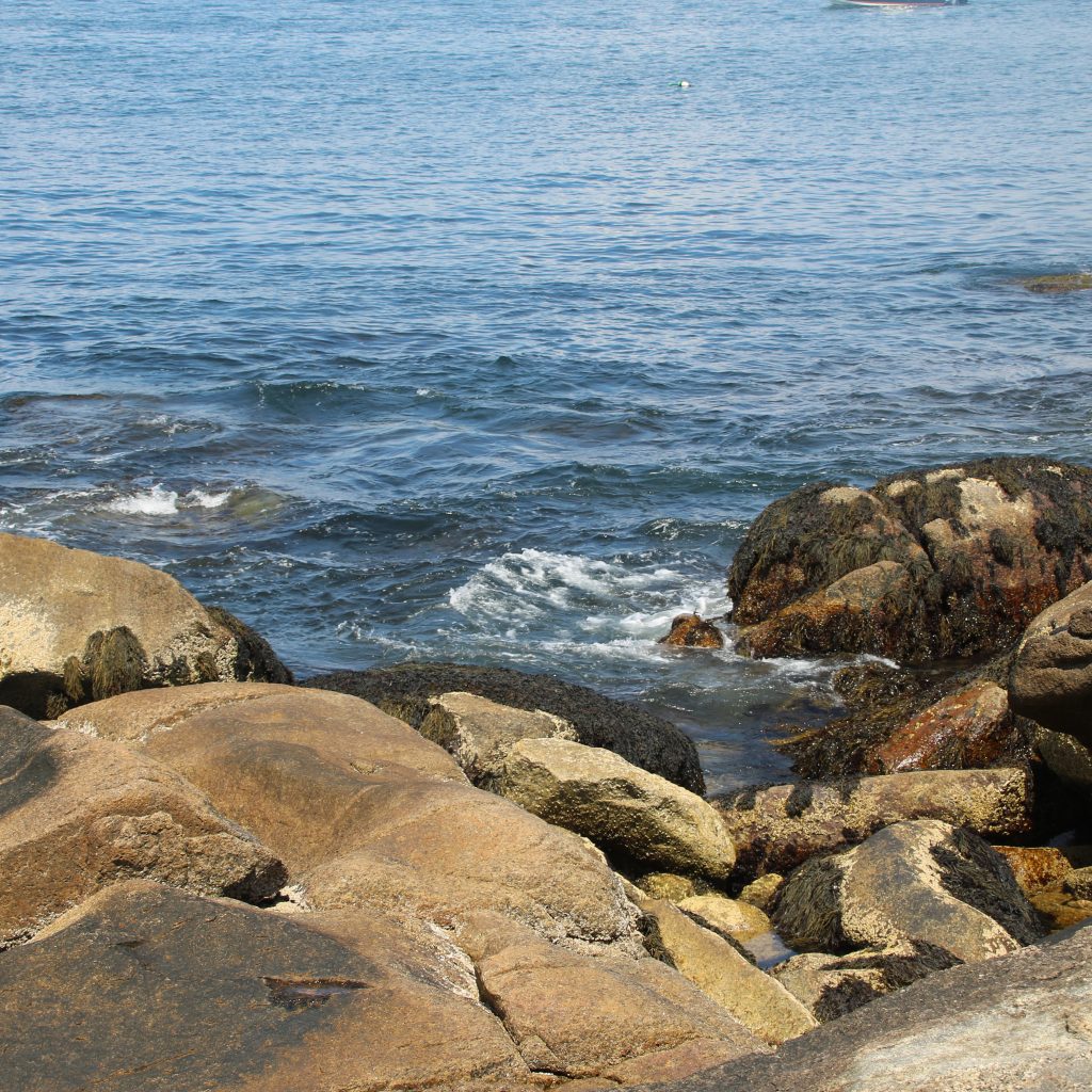
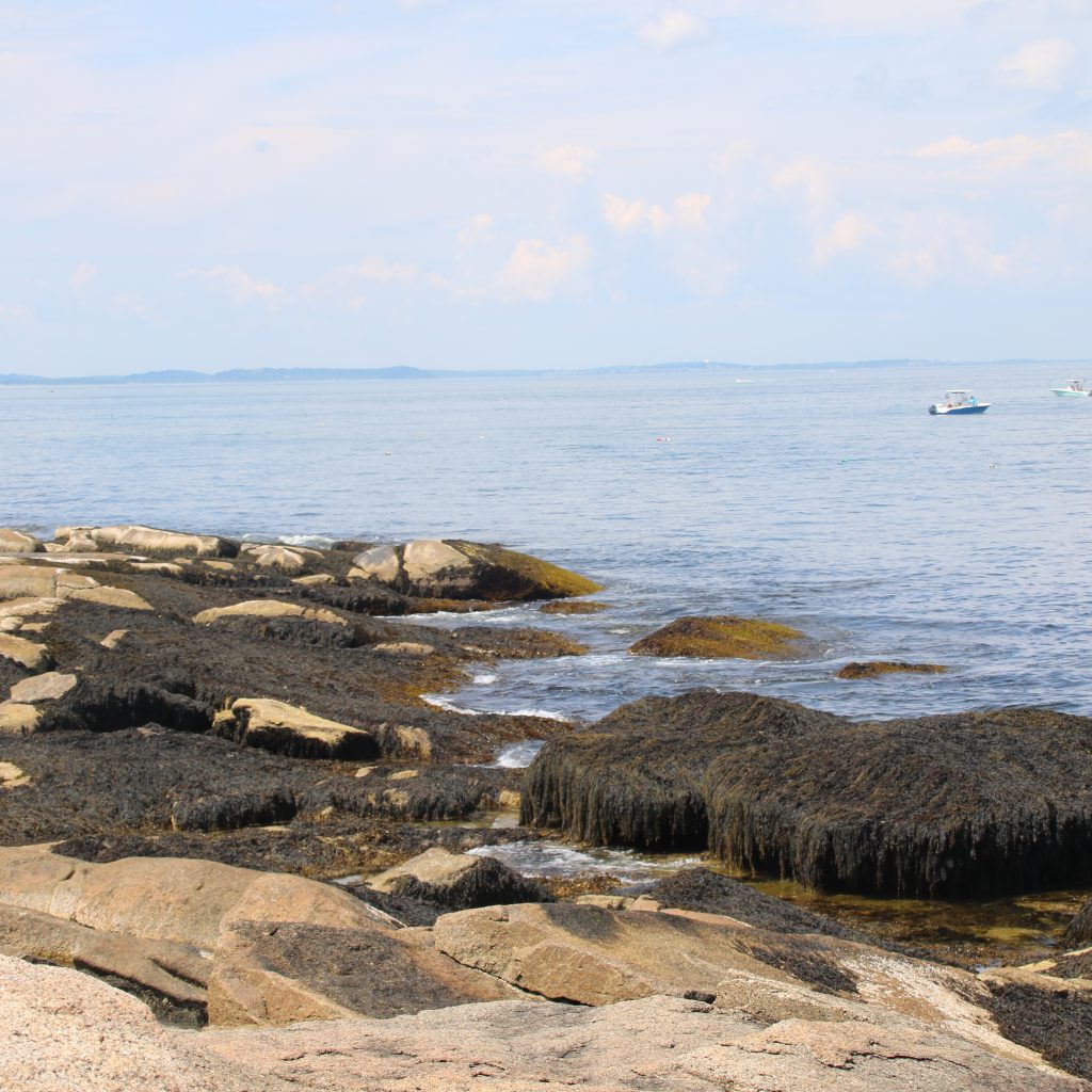
After touring the quarry, we hiked down to the shoreline, which is part of Halibut Point Reservation. Here you can climb the rocks, play in tide pools, see marine life, and more. I love sitting there and listening to the crash of the waves.
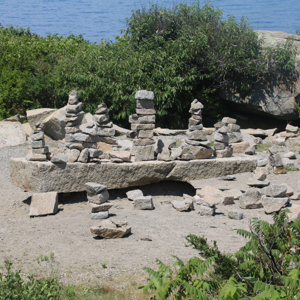

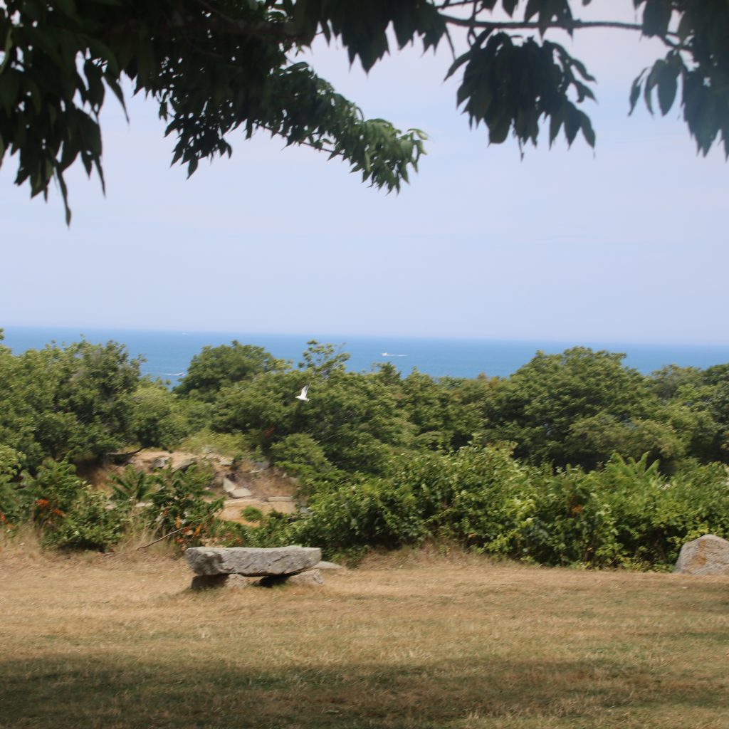
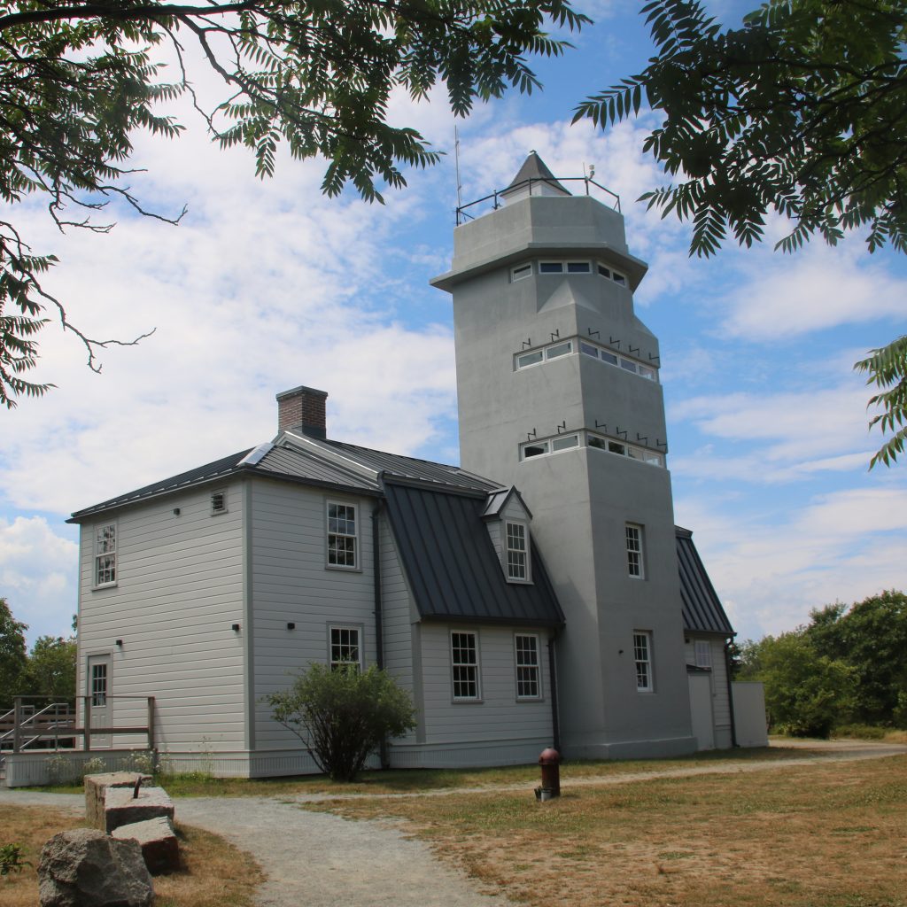
On our way back to the car, we stopped to admire a few of the granite structures that scattered along the park.

Until next time Rockport. We will defintely be back.

